Seems like this took forever, but when I’m painting it in Port Townsend, sending the files to West Virginia, getting approvals from Alaska – well, it just takes some time.
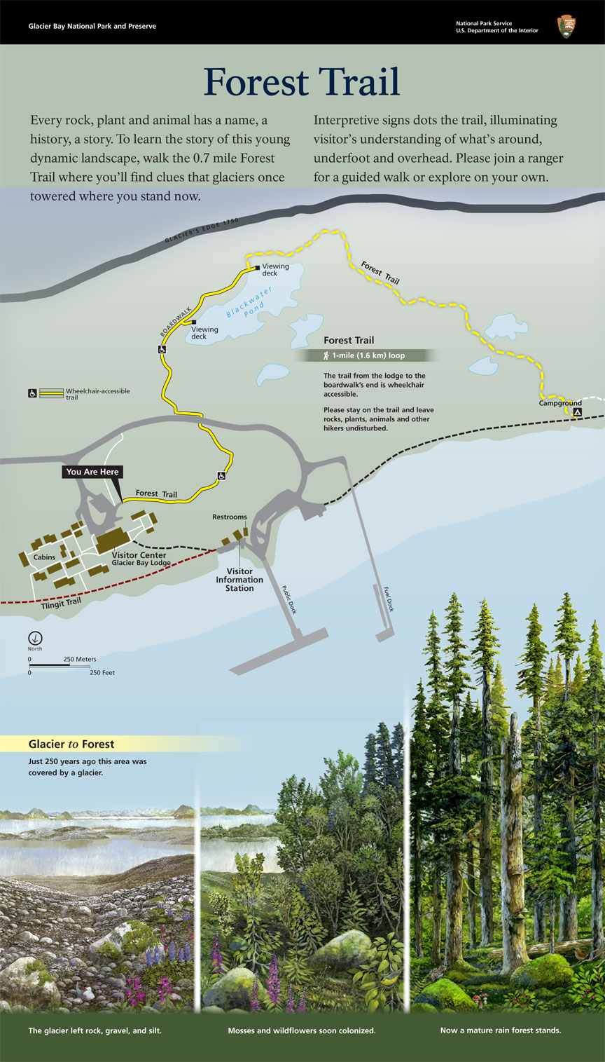
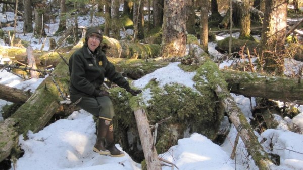
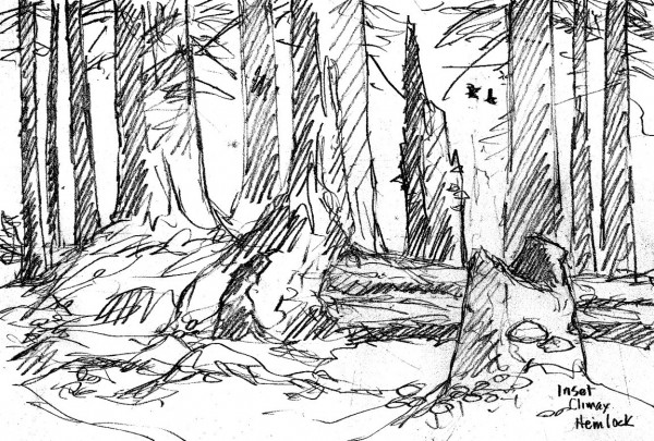
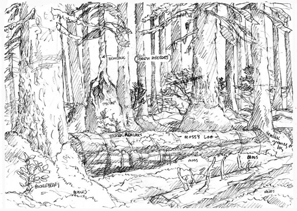
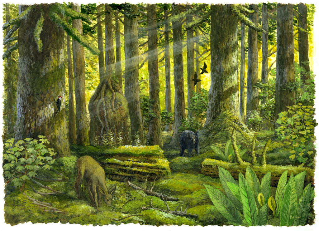
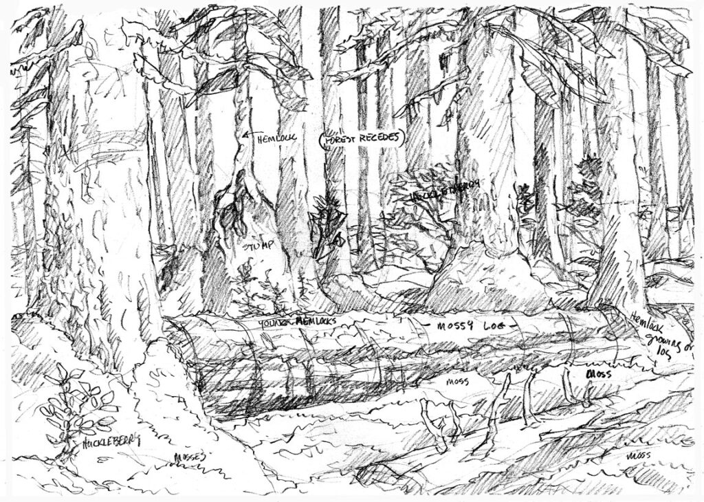
So, this was a bit of a challange. Without seeing the darned place, my task was to paint a place in Glacier Bay National Park. I thought that would have been easy. But then there were three of them, and the first (left side) was to show it as it was when the glacier was receding (at the fastest recorded pace) just a century ago. This thing shrank 65 miles back up the valley in less than a century! You can see it in the distance. Then the middle panel shows the plants – mosses, wildflowers and willows colonizing the barren gravel, ground is greening up, even the islands in Bartlett Cove are covered with young trees. Finally, the right painting shows what it looks like today – a young forest with deep moss and mature trees. I had some photos taken last winter in deep snow as the only reference, plus a couple of Google Earth images, buy my real references were an entire lifetime of boulder-hopping glacier rubble. This is Melanie, Chief of Interpretation last spring showing me the eratic-specimen. She’s now guiding tours in the Antarctic – lucky woman. If you look, you’ll see two glacial erratic boulders in each of the three paintings to show that it’s one place in three time periods.
I know some of you will ask if I also did the map. I’ve done my share of these, but the real heavily lifting with design and map fell to Chad Beale at Harpers Ferry Center in West Virginia. So that makes this somewhat of a collaboration with Harpers Ferry Center (2300 miles from me) and Glacier Bay National Park (2800 miles from him).
Thanks for reading this week.
Larry Eifert
Click here to go to the online blog this was to.
Click here to go to our main website – packed with jigsaw puzzles, prints, interpretive portfolios and lots of other stuff.
Click here to check out what Nancy’s currently working on with her photography.
